Welcome to Maolin
A tourist destination worth visiting repeatedly
Maolin National Scenic Area in southern Taiwan has mountains, valleys, hot springs, and the world-class wonder of "Purple Butterfly Valley."
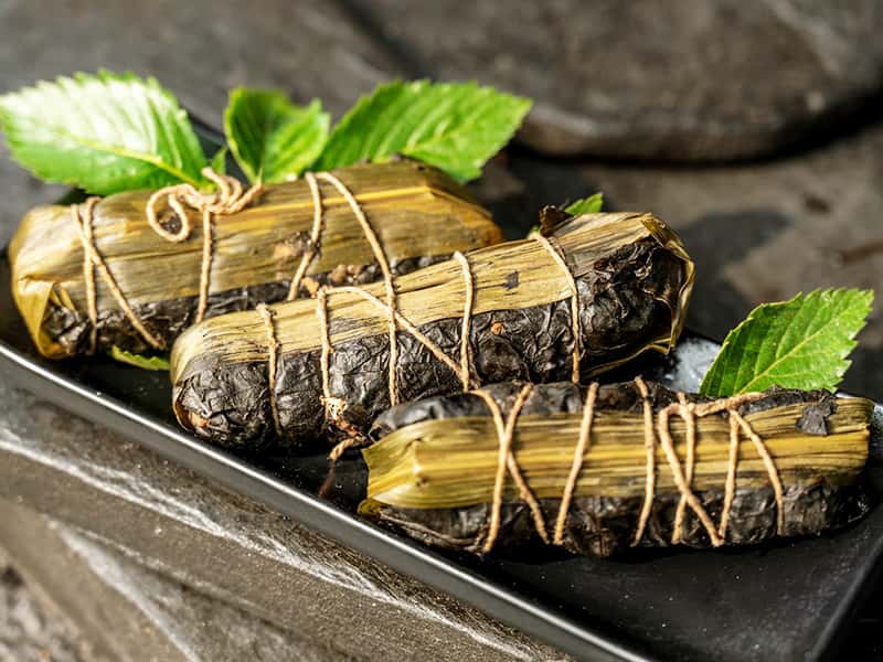
Coming here, you can explore the rich natural ecology and indigenous culture, appreciate traditional crafts, and taste specialty cuisine, leaving unforgettable travel memories.