Maolin Valley / Lumusu Creek Trail
Updated:2025-07-28
Popularity
9120- mountain climbing and hiking
The entrance of the Lumusu Creek Trail can be found 0.8 km away after turning right off the Lumusu Bridge, which can be reached through the Lumusu Access Road. Lumusu is a word in the indigenous Lukai language, meaning "a beautiful valley."
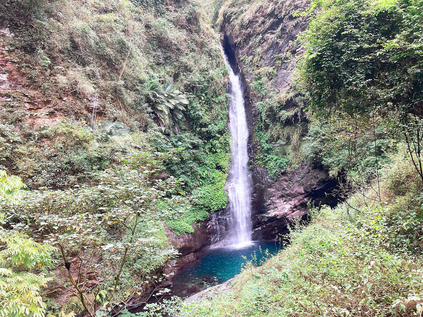
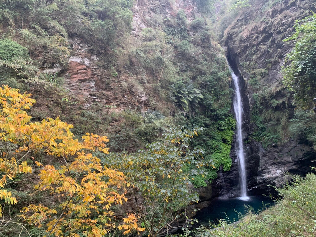
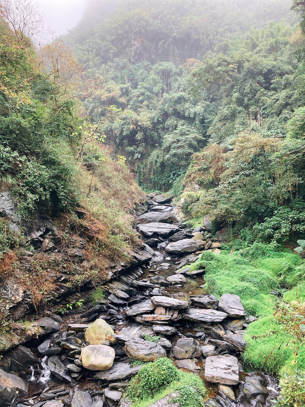
The trail is 4 km long, but only the first 1.2 km is open to the public. Walking along the trail, you can appreciate the scenery along the way, including lush forests and green mountains, fluttering butterflies, and a gurgling river at the bottom of the valley, which is a tributary of the Zhuokou River. After reaching the end of a bamboo corridor, you will see the Maolin Valley Waterfall. The majestic view will help you forget all trouble in your life.
Visitors are recommended to spend one and a half hours here. However, be mindful that there are mosquitos and other insects along the way.
Information
Open Time
Temporarily closed
TEL
886-7-6801111
Remind
The majestic Maolin Valley Waterfall and its clear blue lake are gorgeous. The river is not well suited for swimming, but the trails lead to a wooden pavilion that provides beautiful views of the lake and cascading falls.
How to Get There