Xinwei Scenic Bridge
Updated:2026-03-23
 4.3
4.3Popularity
12291- sight seeing and outings
Fun activities
- Shape of a purple crow butterfly and is illuminated at night.
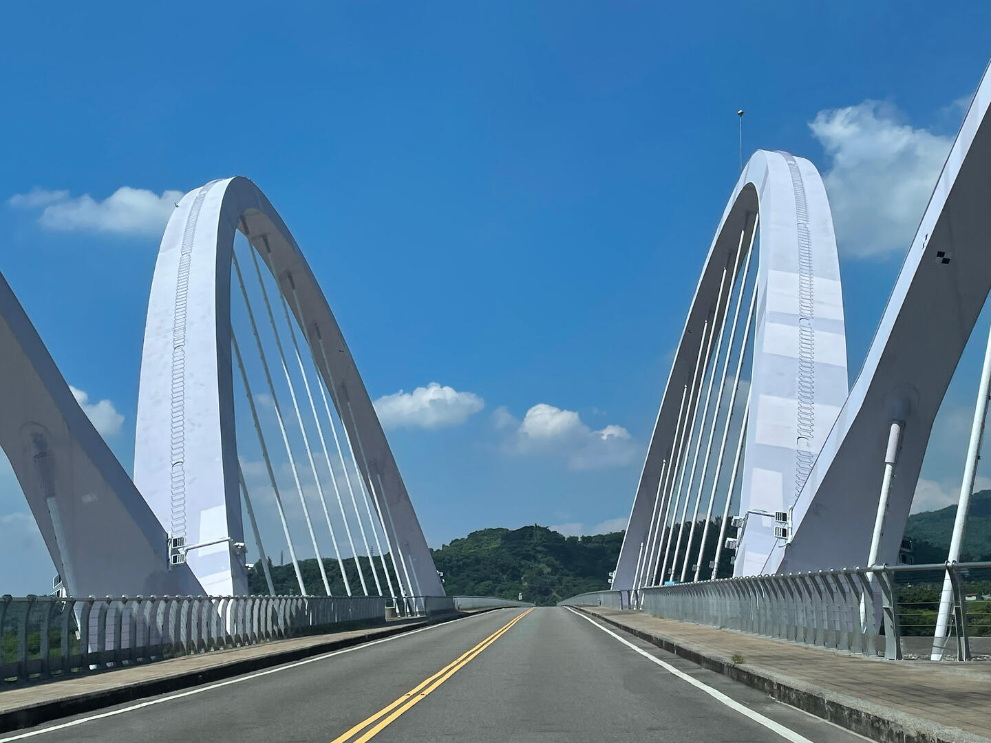
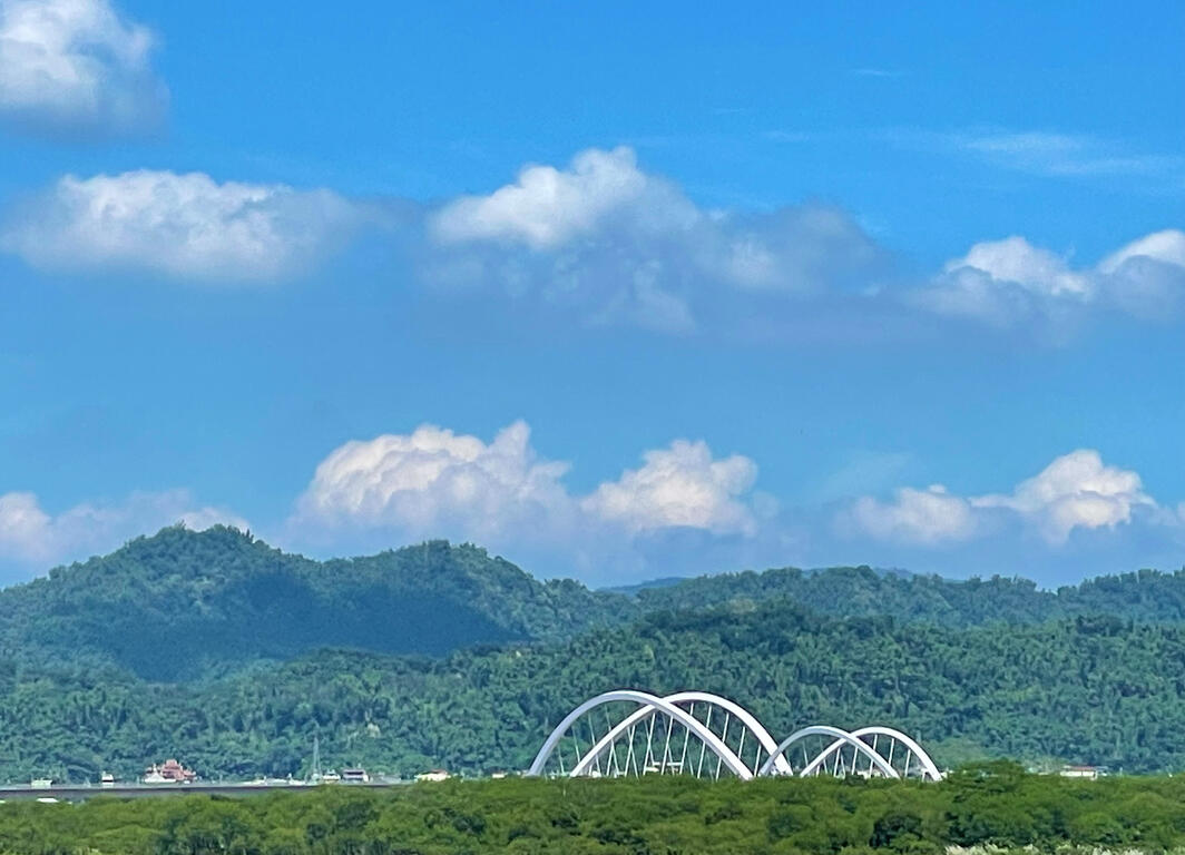
The Xinwei Bridge is located in Liugui District, near the 45km mark of Provincial Highway No. 28. Situated between the Liugui Main Bridge and the Dajin Bridge, the Xinwei Bridge spans across the Laonong River and connects the Provincial Highways No. 27 and No. 28.
The bridge serves as a major thoroughfare connecting regions in the Kaohsiung-Pingtung area to form a transportation network, linking counties and townships along the way, including Meinong, Liugui, Maolin, Dajin in Kaohsiung, and Gaoshu and Xinfeng in Pingtung. Thanks to the bridge, traveling time between any administrative areas in Kaohsiung is cut by up to half an hour.
The bridge features outward-leaning girders designed to make the bridge look like a purple crow butterfly. At night, the bridge will be cast in blue light from the shimmering illumination, creating the artistic effect of a huge purple crow butterfly flapping its wings, truly a sight to behold.
Visitors are recommended to spend about fifteen minutes here to appreciate the bridge's design and the scenery alongside the Laonong River.

Information
Open Time
- Sunday:Open 24 hours a day
- Monday:Open 24 hours a day
- Tuesday:Open 24 hours a day
- Wednesday:Open 24 hours a day
- Thursday:Open 24 hours a day
- Friday:Open 24 hours a day
- Saturday:Open 24 hours a day
TEL
886-7-6871234
How to Get There