Weiliao Mountain Trail
Updated:2025-05-22
 4.4
4.4Popularity
11232- mountain climbing and hiking
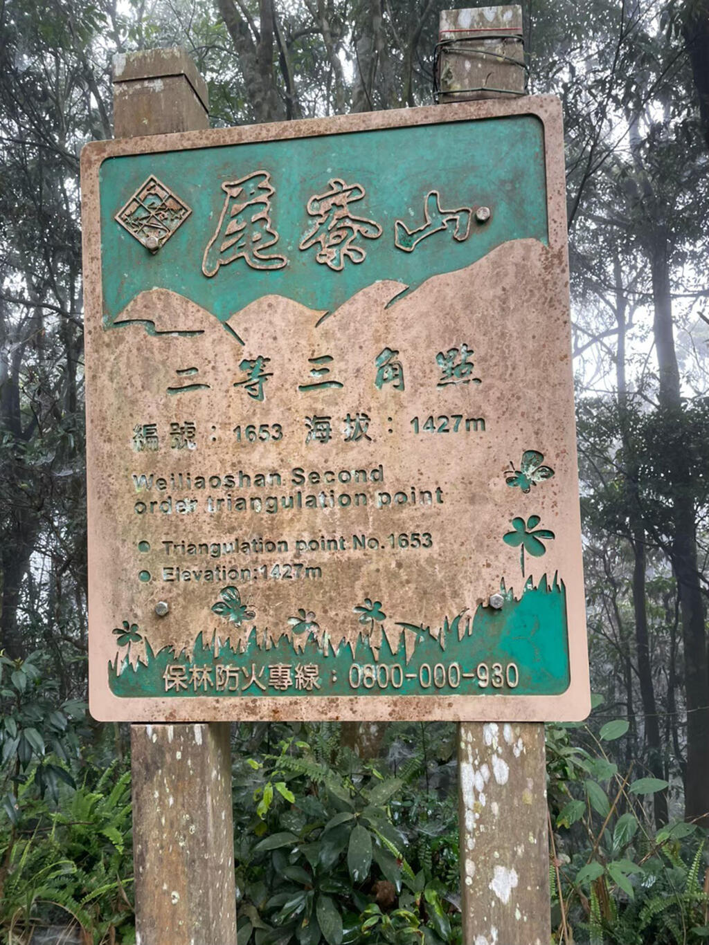
The Weiliaoshan Hiking Trail is 1,427 meters above sea level and situated near the Dajin Bridge at the border between Sandimen Township of Pingtung County and Maolin District of Kaohsiung City.
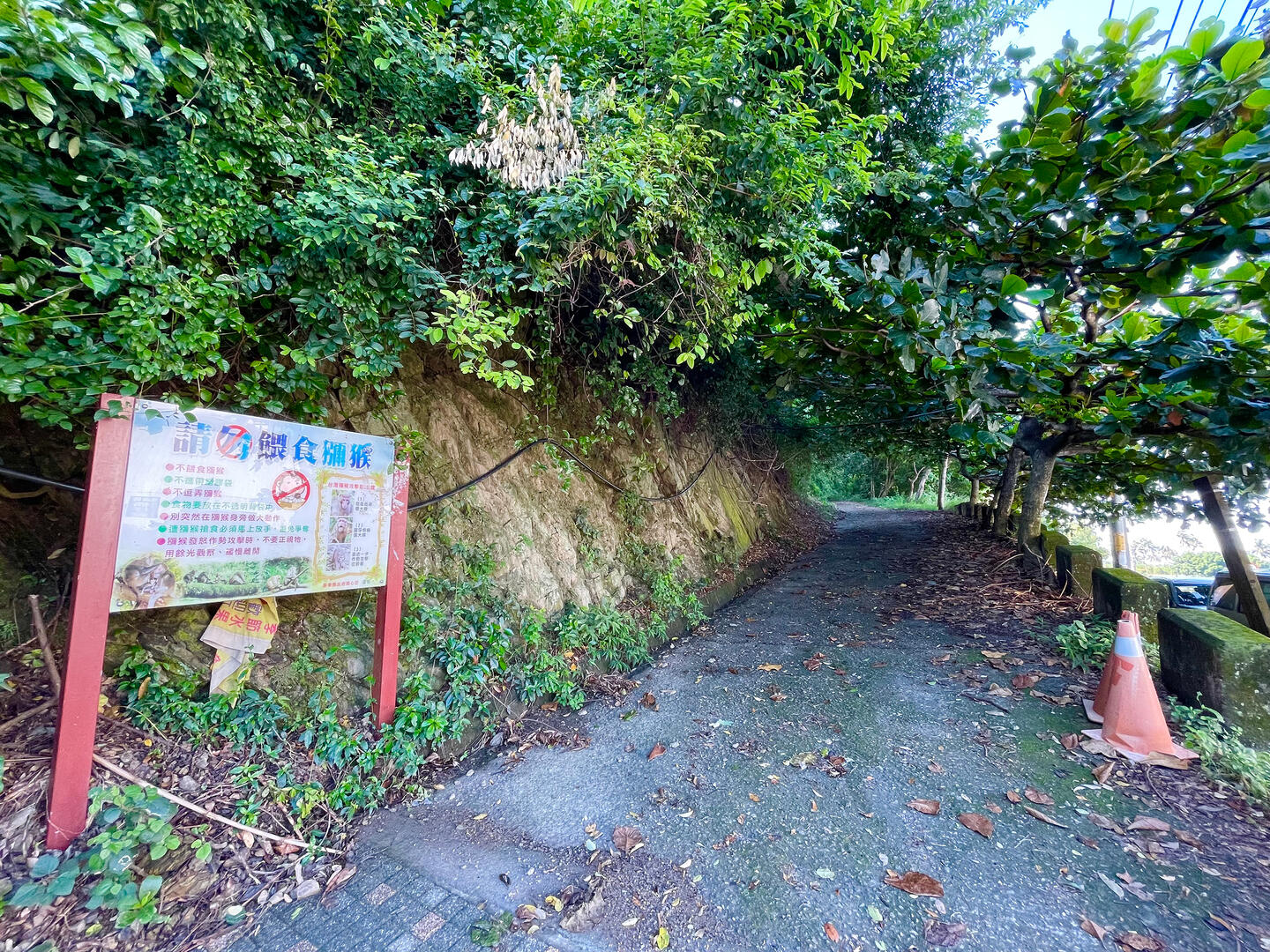
Hikers can access the trail from two different locations. The first option is to start from the entrance on the industrial pathway beside the Dajin Bridge. They will then pass the Jiyiting Pavilion on their way, where they can admire the Laonong River in Liugui District and the Zhuokou River in Maolin District. They can then head to an observatory 1,150 meters above sea level to gaze at the Maolin Tribe and Wanshan Tribe from afar. If they wish to reach the mountain top, they have to trek along a steep slope by pulling themselves up with a rope.
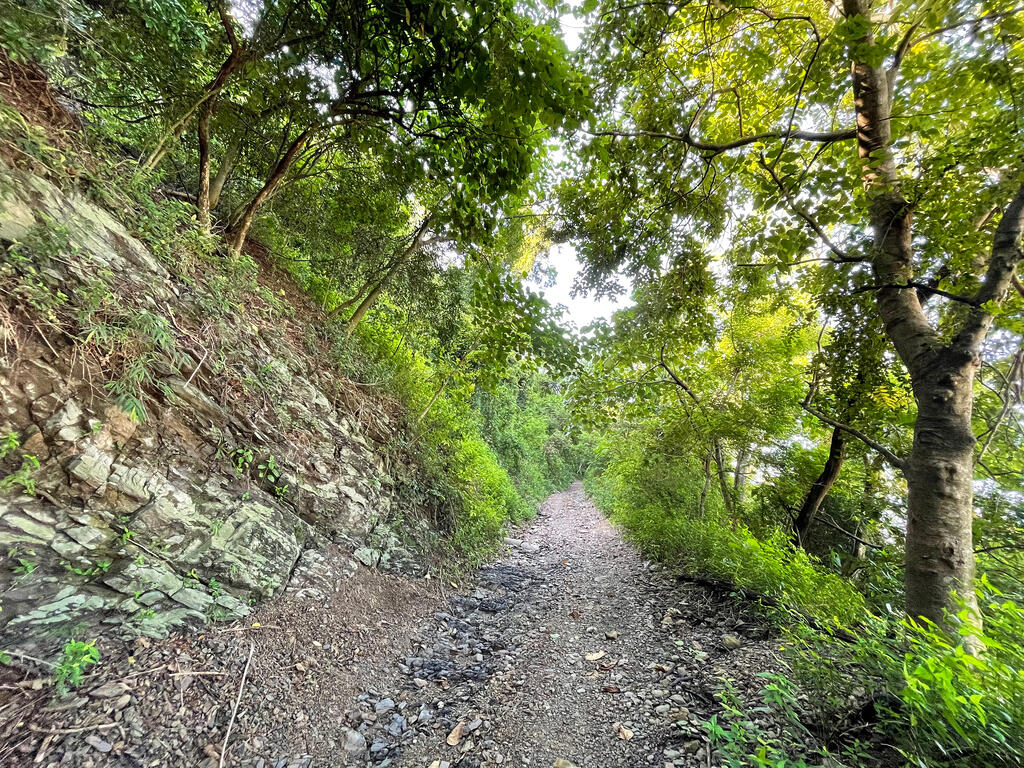
The second option is to start from the 23.5 km mark of the Shaxilin Trail in Koushe. This one proves to be an easier hike compared to the first option: hikers can enjoy picturesque views and diverse animal and plant species along the trail dotted with signs containing information about the local ecosystem.
Overall, the Weiliaoshan Hiking Trail is classified as a challenging route. It normally takes seven to eight hours to walk through the trail, which is 9.3 kilometers in length. Weiliao Mountain is not only an optimal training ground for hikers, but it is also a great challenge for those who simply want to improve their stamina and resilience. That is also what helps the mountain win its place on the list of 100 Peaks of Taiwan.
Visitors are recommended to spend a half day to one day walking through the hiking trail. Before they come, they should check the weather forecast to make sure it is safe for hiking and bring trekking poles, gloves, hiking shoes, enough water, and supplies.
Information
Open Time
- Sunday:Open 24 hours a day
- Monday:Open 24 hours a day
- Tuesday:Open 24 hours a day
- Wednesday:Open 24 hours a day
- Thursday:Open 24 hours a day
- Friday:Open 24 hours a day
- Saturday:Open 24 hours a day
TEL
886-8-7236941
Remind
Carry sufficient water. When walking downhill, please use a walking stick. Bring an extra T-shirt with you, so that you can stay dry. Gloves are used to protect yourself when holding onto a rope during climbing.
How to Get There