Zishalishali Trail
Updated:2025-11-04
 4.3
4.3Popularity
6372- sight seeing and outings
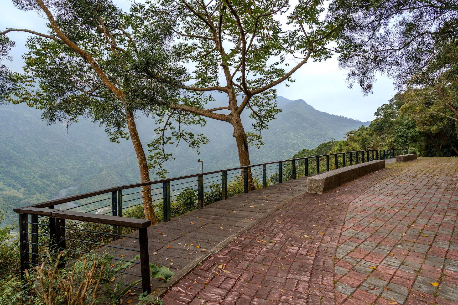
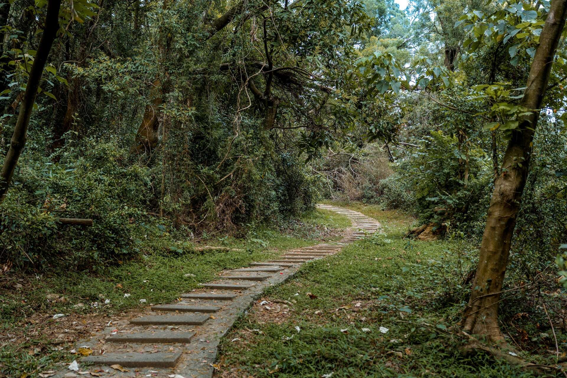
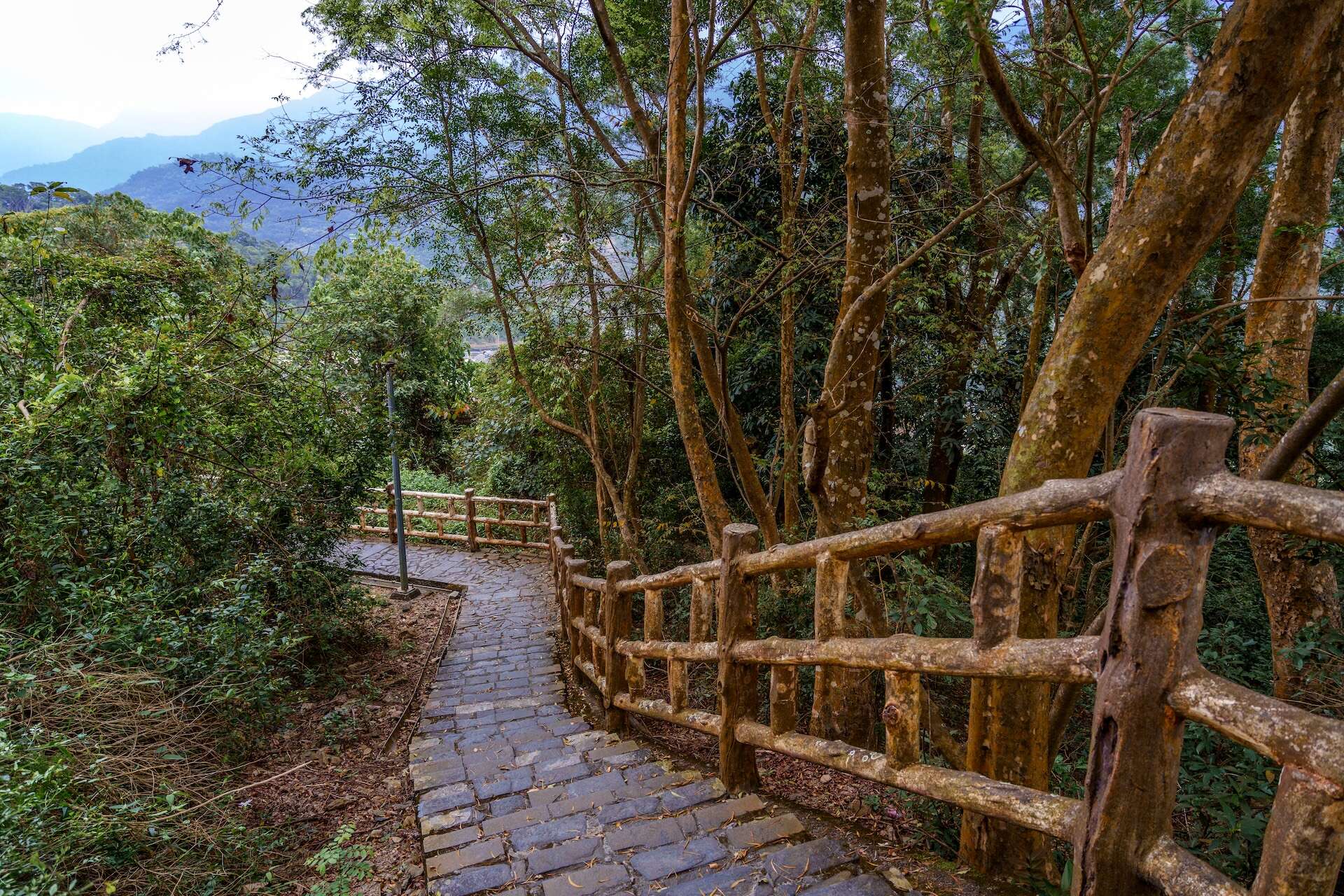
The Zishalishali Trail sits in the Maolin Eco Park and can be accessed by the butterfly-sighting trail in the park.
Zishalishali is a word in the Lukai language, meaning "a place with abundant shell ginger." Since mountains did not have proper names back then, the indigenous people would refer to them with trees or other plants growing in a mountain to identify them.
The whole trail is 3.7 kilometers long, and it takes 50 minutes to walk through it. However, only the first 2.1 kilometers in the Maolin Eco Park is open to the public. The trail is also part of an important migration destination for purple crow butterflies in winter, in addition to having an abundance of bird and insect species. Visitors are hence strongly advised against disturbing the migrating butterflies or destroying their habitat.
Visitors are recommended to spend one and a half hours here. They can park their cars in the Eco Park’s parking lot. They are advised against destroying the surrounding environment when watching butterflies.
Information
Open Time
- Sunday:Open 24 hours a day
- Monday:Open 24 hours a day
- Tuesday:Open 24 hours a day
- Wednesday:Open 24 hours a day
- Thursday:Open 24 hours a day
- Friday:Open 24 hours a day
- Saturday:Open 24 hours a day
TEL
886-7-6801111
How to Get There