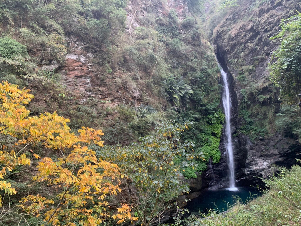
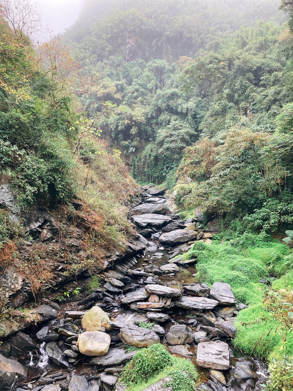
Read the following for how to use your keyboard to browse the album: Up:Show photo menu Down:Hide photo menu Left:Last photo Right:Next photo ESC:Leave album Maolin Valley / Lumusu Creek Trail The entrance of the Lumusu Creek Trail can be found 0.8 km away after turning right off the Lumusu Bridge, which can be reached through the Lumusu Access Road. Lumusu is a word in the indigenous Lukai language, meaning “a beautiful valley.” The trail is 4 km long, but only the first 1.2 km is open to the public. Walking along the trail, you can appreciate the scenery along the way, including lush forests and green mountains, fluttering butterflies, and a gurgling river at the bottom of the valley, which is a tributary of the Zhuokou River. After reaching the end of a bamboo corridor, you will see the Maolin Valley Waterfall. The majestic view will help you forget all trouble in your life. Visitors are recommended to spend one and a half hours here. However, be mindful that there are mosquitos and other insects along the way. Travel info Travel typeOutingMt. climbingForest bathTravel TripsThe majestic Maolin Valley Waterfall and its clear blue lake are gorgeous. The river is not well suited for swimming, but the trails lead to a wooden pavilion that provides beautiful views of the lake and cascading falls.AddressLuomusi Creek trail terminal, Maolin District, Kaohsiung CityTel886-7-6801111Traffic InformationDrive: Situated near the 5.5km marker at Kaohsiung Rural Route No. 132 Car : On the way to Uanshan, there is a parking lot for Maolin Valley. Take the downhill road on the right to reach the suspension bridge and path to Lovers Valley. Longitude/Latitude:120.67359/22.89138 Nearby places 17Scenic spots Maolin Dist.Maolin Eco Park (The Hidden Valley of Purple Crow Butterflies)Distance1.15KM Maolin Dist.Maolin Entrance ParkDistance2.69KM Maolin Dist.Zishalishali TrailDistance0.99KM Maolin Dist.ShetoushanDistance2.85KM Sandimen TownshipWeiliao Mountain Trail Distance3.59KM Liugui Dist.Xinwei Scenic BridgeDistance3.64KM Maolin Dist.Duona Village’s Stone Slab HousesDistance4.86KM Maolin Dist.Little Great Wall TrailDistance3.04KM Maolin Dist.Duona High Suspension BridgeDistance3KM Maolin Dist.Lovers' GorgeDistance1.84KM Maolin Dist.Wanshan TribeDistance2.03KM Sandimen TownshipDajin WaterfallDistance4.47KM Maolin Dist.Duona TribeDistance4.86KM Maolin Dist.Longtoushan Leisure AreaDistance2.6KM Liugui Dist.Shuizun Engong ShrineDistance4.92KM Maolin Dist.Maolin Visitor CenterDistance1.22KM Maolin Dist.Maolin Environmental Education CenterDistance1.22KM Travel Map 2Beds Maolin Dist.Deengoege HomestayDistance0.66KM Liugui Dist.Mushroom Home B&BDistance2.82KM Travel Map 3Restaurants Maolin Dist.Maz RestaurantDistance4.65KM Maolin Dist.South Taiwan RestaurantDistance0.9KM Maolin Dist.Feng Shan Farmers' AssociationDistance0.68KM Travel Map 8Itinerary Ecological Exploration Half-Day Trips Route A Ecological Exploration One Day Trips Route B Mountain Climbing and Hiking Half-Day Trips Route B Mountain Climbing and Hiking One Day Trips Mountain Climbing and Hiking Two Day Trips Route A Delicacies and Delights Two Day Trips Route B Admiring Arts and Crafts Two Day Trips Route A Flavors of Indigenous Homelands Two Day Trips Route B Travel Map Zishalishali Trail Back to list Maolin Eco Park (The Hidden Valley of Purple Crow Butterflies)