Half-Day Hot Spring Tour-Pulaixitou Tribe Historic Battle Trail, Baolai Hot Spring
Posted Date:2024-08-19
Updated:2025-05-05
Popularity
997
Travel days:
Half day tour
Category:
Natural、Hot Spring
Introduction
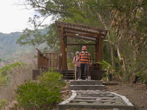
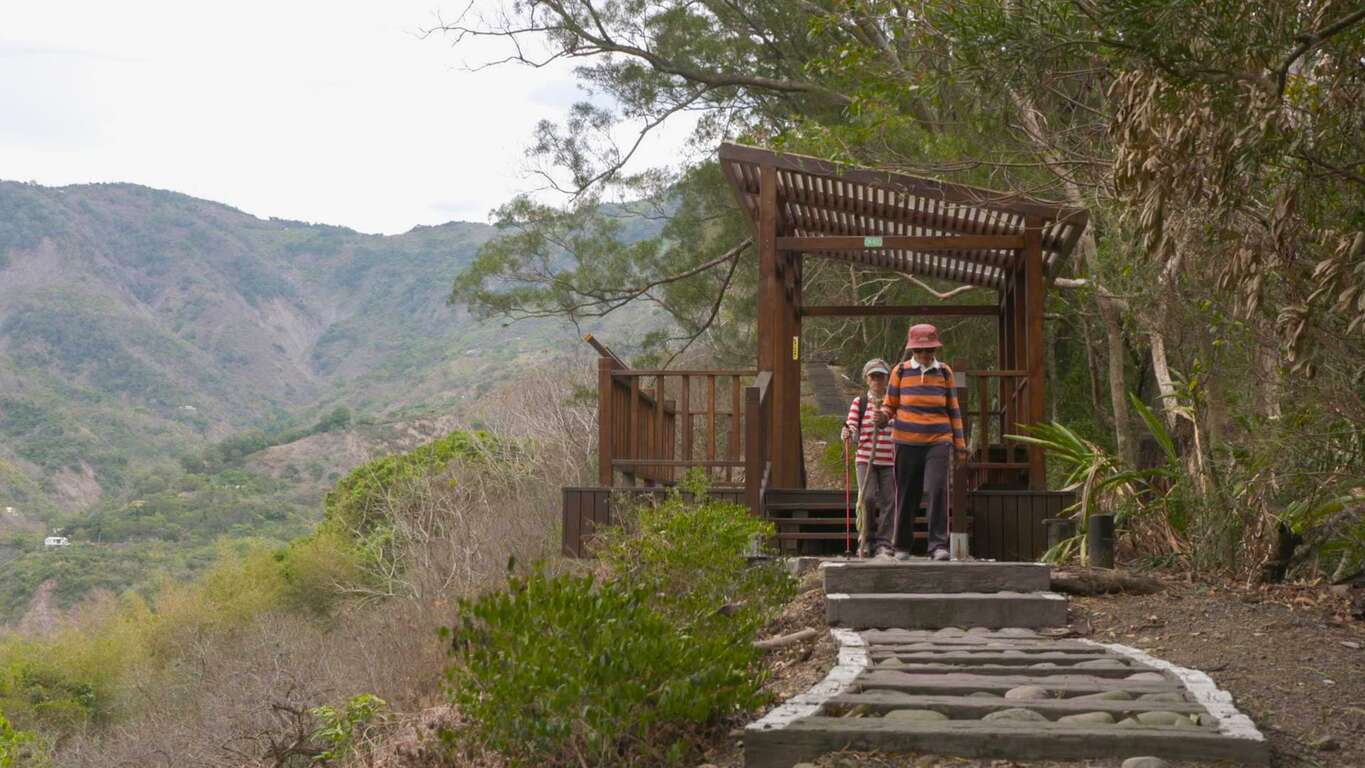
The Pulaisitou Warpath uses natural engineering methods to provide visitors with abundant plants and vegetation. From here you can gaze at the confluence of the Baolai Stream and Laonong Stream. To the north, you could see the pillow shaped lava landforms known as “luoluopu” and “dujiaocingniou” to the locals. To the southwest, the Miaotung Temple is visible, while the Cili Acacia Forest can be seen to the east. Finally, westward is the panoramic view of the hot springs zone. From this path, you can enjoy the broad and magnificent view.
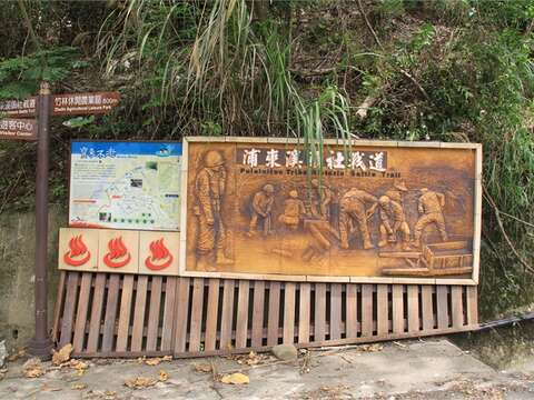
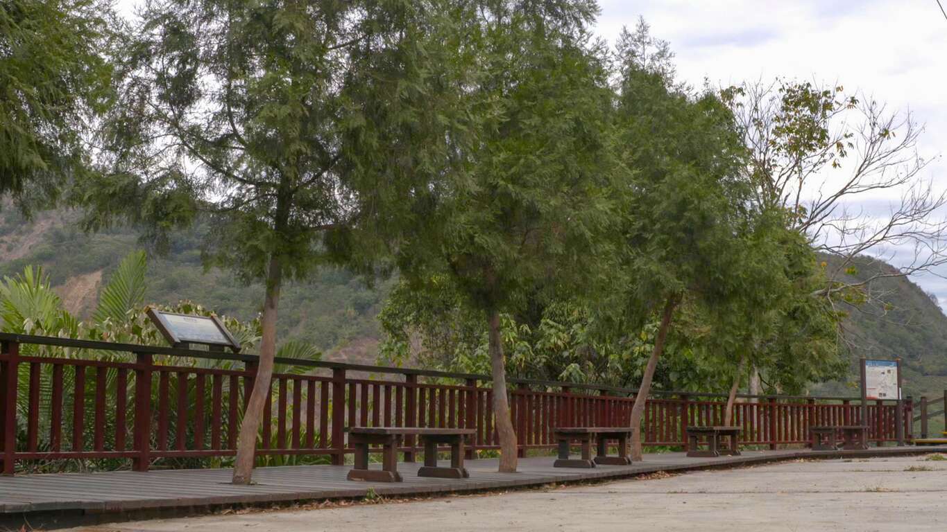
Pulaixitou Tribe Historic Battle Trail
The trail is the namesake of the Pulai Xitou Tribe that found itself situated at the watershed separating the Laonong River and the Baolai River. At the beginning of the 20th century, a Japanese anthropologist came across the relics of the Tribe, which also included the battlefield trail. The trail was built circling up the Meilong Hill to transport construction materials for a fort on the top in the Japanese colonial era, which was used to regulate the indigenous activities. The trail then became known as the Pulaixitou Tribe Historic Battle Trail now, serving as a reminder of history.
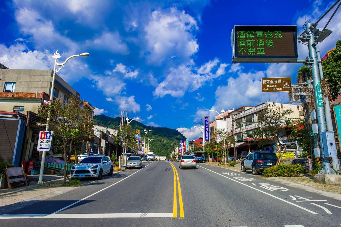
Baolai Hot Spring Area
The Baolai Hot Spring Area is located in Baolai Village of Liugui and can be accessed by Baolai Bridge No. 1. It is now a famous Hot Spring Resort in the south, but it used to be a pristine forest in the Japanese colonial era. Back then, the region was covered by cypress, camphor, and zelkova trees, forming a lush forest that ed the Japanese people to name the place Penglai Paradise, later known as Baolai.
Pulaixitou Tribe Historic Battle Trail
The trail is the namesake of the Pulai Xitou Tribe that found itself situated at the watershed separating the Laonong River and the Baolai River. At the beginning of the 20th century, a Japanese anthropologist came across the relics of the Tribe, which also included the battlefield trail. The trail was built circling up the Meilong Hill to transport construction materials for a fort on the top in the Japanese colonial era, which was used to regulate the indigenous activities. The trail then became known as the Pulaixitou Tribe Historic Battle Trail now, serving as a reminder of history.
Baolai Hot Spring Area
The Baolai Hot Spring Area is located in Baolai Village of Liugui and can be accessed by Baolai Bridge No. 1. It is now a famous Hot Spring Resort in the south, but it used to be a pristine forest in the Japanese colonial era. Back then, the region was covered by cypress, camphor, and zelkova trees, forming a lush forest that ed the Japanese people to name the place Penglai Paradise, later known as Baolai.
Photos